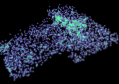
3D visualisation of indigenous burial site in Roonka
Professor Judith Littleton, Department of Anthropology; Dr. Joshua Emmitt, Research Fellow, Department of Anthropology; Ashley McGarry, Research Assistant, Department of Anthropology; Stacey Middleton, Research Assistant, Department of Anthropology; Warrick Corfe-Tan, eResearch Solution Analyst, Centre for eResearch
Introduction
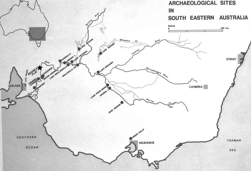
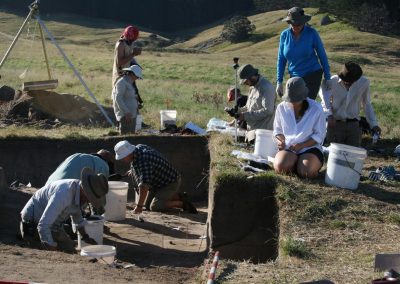
The Roonka excavation site in South Australia is the largest excavated Aboriginal burial ground in Australia. The site has never been fully analysed, partly due to the difficulties of interpreting the complexity of burials and other features that had accumulated over 7,000 years. The recording of the excavation resulted in over 100 plan drawings of the site, representing elevation changes of 3 cm each. This level of recording represents a large amount of data, but the way it was recorded on paper has meant that interpretation of the plans, and therefore the site, has been difficult. However, with new technology, these plans can be digitized and reconstructed into a 3D model of the site with the aid of geographical information systems (GIS) and computer aided design (CAD) programs. Prior to the collaboration with the Centre for eResearch (CeR), many of the steps required in the CAD environment were done manually, hence it took considerable time to get the work done.
Procedural model construction
Warrick Corfe-Tan from CeR worked on the project with the goal of accelerating and automating the central workflows to streamline labour-intensive processes, and create various functionalities for 3D model analysis.The excavation took place in the 1960’s-70’s. They were recorded but not digitized, and were therefore unable to be easily imported and manipulated for computer analysis. The excavation was recorded as a series of layers showing a cross section of the site at 3cm intervals. The process to connect these layers without computational artefacts or misaligned geometry was very time-consuming. Warrick was able to significantly reduce the time required by converting these recordings into 3D model. This was achieved by developing a script programmatically generate 3D models from the excavation recordings as well as automatically generating batches of these models. The result enabled us to cut the time from multiple minutes per model to less than 30 seconds for potentially hundreds of models.
Point Analysis
Another important but labour-intensive factor in the analysis of the excavation site was in identifying intersecting models with features. As mentioned earlier, the excavations were recorded as a series of layers with no depth and as such, were not true 3D objects. Creating the 3D models overcame one challenge by creating a 3D area where the points can be compared. The next challenge was the limitations of the available GIS and CAD software. The GIS Software was not able to accurately identify features that intersected with the 3D models. The Centre of eResearch developed 3D scripts run within Blender (an open source 3D creation software) in order to identify intersecting points and produce data to be used by the GIS software.
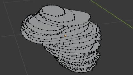
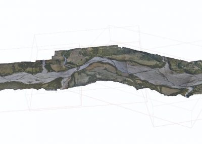
Figure 2. Layers of a feature within the excavation recorded at 3 centimetre intervals.
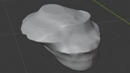
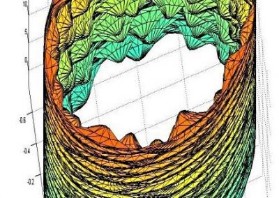
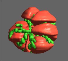
Figure 3. A 3D model of a hull created using excavation data.
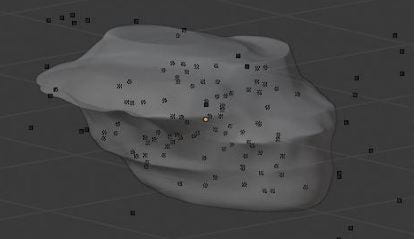
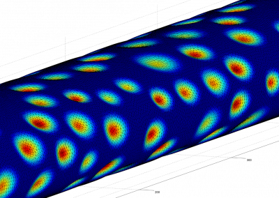
Fig. 4. The 3D model an excavation feature with points representing artefact locations overlayed.
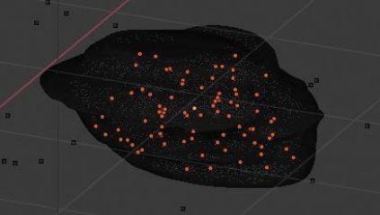
Figure 5. Multiple orange points representing points that intersect with model.
Visualization of Roonka digitised data
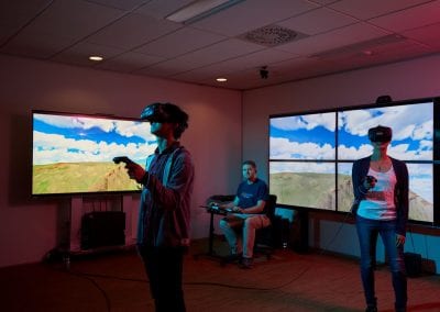
With these additions, we hope to be able to create an immersive VR Demo of the Roonka site’s progression over time, and use this output to provide the aboriginal community with a better insight into their past. The scripts have enabled the research team to speed up the creation of new 3D models of Roonka. The team will use the model in spatial analyses of the site, as well as in visualizations for research and for use by the traditional owners of Roonka. The model has allowed the team to better understand the formation history of the archaeological material at Roonka, and the relationships between burials and material culture from the excavation. This was previously inaccessible due to the way in which the data was recorded. Further work with the project aims to construct animations of the site that can depict the formational and archaeological history of the area for presentation and research.
See more case study projects

Our Voices: using innovative techniques to collect, analyse and amplify the lived experiences of young people in Aotearoa
Painting the brain: multiplexed tissue labelling of human brain tissue to facilitate discoveries in neuroanatomy

Detecting anomalous matches in professional sports: a novel approach using advanced anomaly detection techniques

Benefits of linking routine medical records to the GUiNZ longitudinal birth cohort: Childhood injury predictors
Using a virtual machine-based machine learning algorithm to obtain comprehensive behavioural information in an in vivo Alzheimer’s disease model
Mapping livability: the “15-minute city” concept for car-dependent districts in Auckland, New Zealand
Travelling Heads – Measuring Reproducibility and Repeatability of Magnetic Resonance Imaging in Dementia
Novel Subject-Specific Method of Visualising Group Differences from Multiple DTI Metrics without Averaging
Re-assess urban spaces under COVID-19 impact: sensing Auckland social ‘hotspots’ with mobile location data
Aotearoa New Zealand’s changing coastline – Resilience to Nature’s Challenges (National Science Challenge)
Proteins under a computational microscope: designing in-silico strategies to understand and develop molecular functionalities in Life Sciences and Engineering
Coastal image classification and nalysis based on convolutional neural betworks and pattern recognition
Determinants of translation efficiency in the evolutionarily-divergent protist Trichomonas vaginalis
Measuring impact of entrepreneurship activities on students’ mindset, capabilities and entrepreneurial intentions

Using Zebra Finch data and deep learning classification to identify individual bird calls from audio recordings
Automated measurement of intracranial cerebrospinal fluid volume and outcome after endovascular thrombectomy for ischemic stroke
Using simple models to explore complex dynamics: A case study of macomona liliana (wedge-shell) and nutrient variations
Fully coupled thermo-hydro-mechanical modelling of permeability enhancement by the finite element method
Modelling dual reflux pressure swing adsorption (DR-PSA) units for gas separation in natural gas processing
Molecular phylogenetics uses genetic data to reconstruct the evolutionary history of individuals, populations or species
Wandering around the molecular landscape: embracing virtual reality as a research showcasing outreach and teaching tool
