Assessing Marine Ecosystems to Improve Management
Project team: Dr Jenny Hillman, Lecturer, Institute of Marine Science; Professor Simon Thrush, Director of the Institute of Marine Science; Professor Conrad Pilditch, University of Waikato; Eliana Ferretti, Lucy van Oosterom, Maria Martin, Research Assistants, Institute of Marine Science; Data visualisation support: Nick Young, Centre for eResearch, Rakshan Roohi, Institute of Marine Science

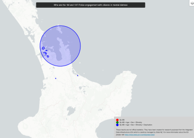
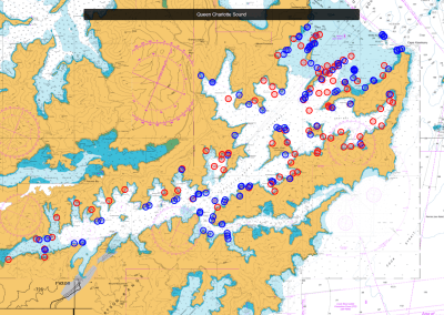
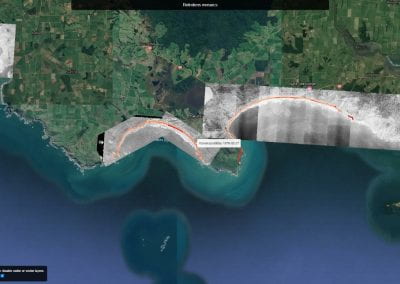
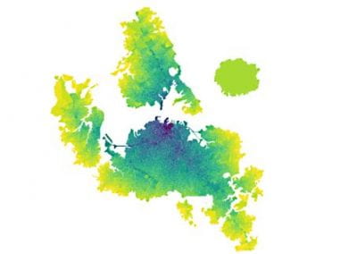
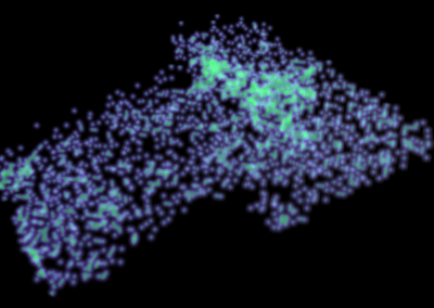
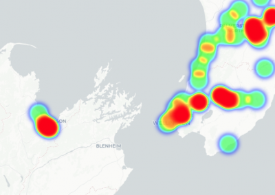
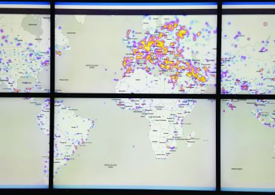
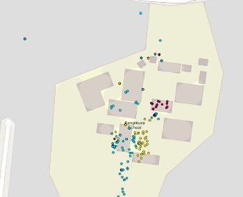
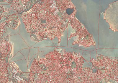
Figure 3. The online map showing all of the surveyed sites in Queen Charlotte Sound.
Background
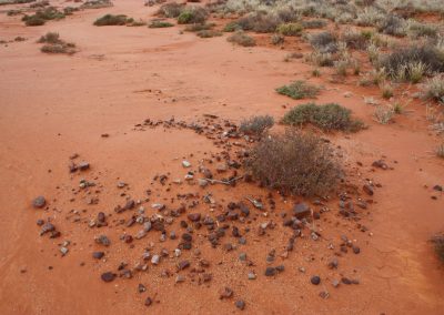
This project investigates the ecological effects of fishing and sediment runoff from land in Queen Charlotte Sound, whilst also looking for areas that might be suitable for restoration in the future. Marine health data gathered will support more integrated management of the ecosystem. The team of researchers from the University of Auckland, University of Canterbury, University of Waikato and NIWA worked with the local community, including local iwi and schools, to help focus on shared goals and engage with management of the Sound.
This project is part of the Sustainable Seas National Science Challenge project, Ecological responses to cumulative effects. It addresses the cumulative effects (CE) of multiple stressors on soft-sediment and rocky reef biodiversity and ecosystem function. This knowledge is necessary to underpin models, decision-making processes and to implement Ecosystem-Based Management (EBM). This research will allow us to develop frameworks across the Challenge that improve the way we make decisions about the risks posed by different activities in the marine environment, and the opportunities we have to improve the ecological health and mauri of our coasts and estuaries.
Approach
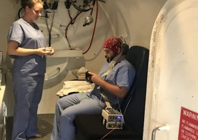
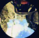
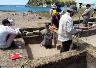
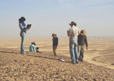
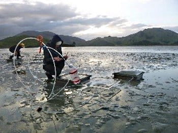
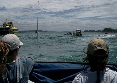
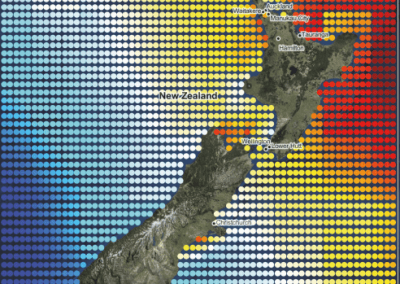
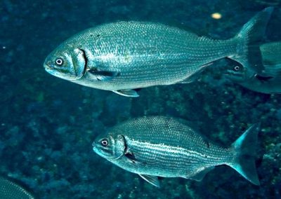
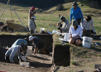
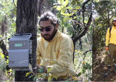
The team spent eight days in the Sounds in 2018 sampling at more than 200 sites, with follow-up experiments on ecosystem functioning carried out in 2021. To assess the status of the marine environments at each site transects were run from the shore outwards at each site around the coastline of Queen Charlotte Sound and around islands within the Sound. Drop cameras (Figure 2) were either towed behind boats videoing continuously along each transect or dropped at multiple locations along each transect and still images taken. Each video and image were assessed live on the boat and notes taken, and post-assessment was also undertaken at NIWA Hamilton and the Leigh Marine laboratory of the video and images to further assess the animals and plants seen and the type of habitat. This process selected representative video clips and/or images for each of the surveyed sites which were then mapped to show what each site looks like underwater in terms of the dominant habitat(s)(Figure 1).
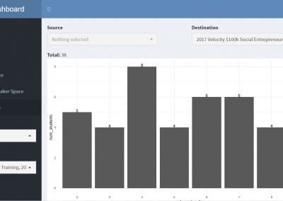
Data visualisation
An important aspect of this work was to make it accessible to the general public, including the local community that live and work around Queen Charlotte Sound. Nick Young from the Centre for eResearch set up a web-based interface to browse a map of the Sound (Figure 3) with clickable links that open up either video clips or still images with text explaining the habitat at that site.