
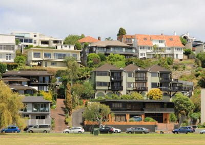
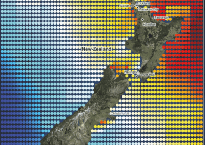
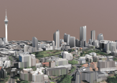
Auckland housing and land use geo-data
Project team: Associate Prof Ryan Greenaway-McGrevy, Dr James Jones, Research Fellow, Dist Prof Peter Phillips, Economics,
Faculty of Business and Economics
Geocoding support: Nick Young and Andrew Leathwick, Centre for eResearch
Introduction
The challenges
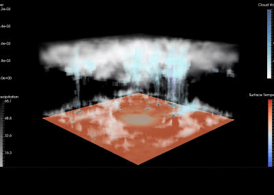
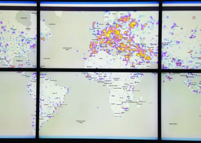
The Centre for eResearch
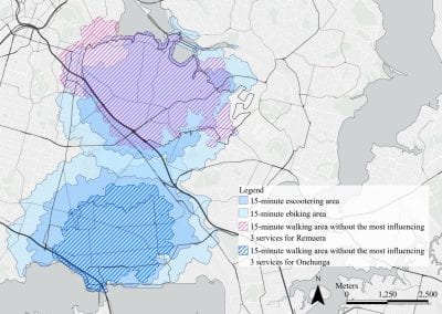
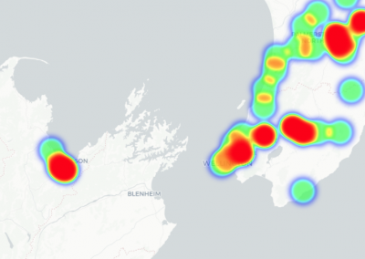
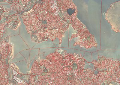
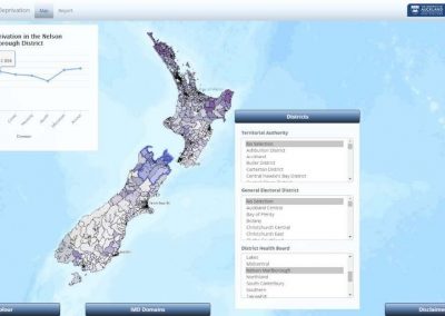
Nick Young from the Centre offers the geocoding and visualisation expertise to assemble a geo-referenced dataset of housing market indicators to understand how housing markets function in Auckland. The team intends to use the outputs to assess a variety of policies that affect housing affordability, including changes in land use and zoning. The dataset will also be used to examine attendant problems of public transportation and road network access, infrastructure funding, financing, greenspace and coastal access amenity provision.
The project
It is policy-oriented, with many of the project outputs either evaluating housing, land use or public infrastructure policy, or simulating potential policy impacts on urban development, housing, transport and population.

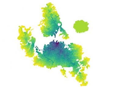
Manhattan distance from centroid to Skytower Mdist_skytower
Acknowledgement
“I have really enjoyed working with Nick and Andrew. I found them to be highly responsive, dedicated and professional. They identified problems that I did not foresee and often suggested viable solutions. I will recommend your team to others. ” – Ryan
See more case study projects

Our Voices: using innovative techniques to collect, analyse and amplify the lived experiences of young people in Aotearoa

Painting the brain: multiplexed tissue labelling of human brain tissue to facilitate discoveries in neuroanatomy

Detecting anomalous matches in professional sports: a novel approach using advanced anomaly detection techniques

Benefits of linking routine medical records to the GUiNZ longitudinal birth cohort: Childhood injury predictors

Using a virtual machine-based machine learning algorithm to obtain comprehensive behavioural information in an in vivo Alzheimer’s disease model

Mapping livability: the “15-minute city” concept for car-dependent districts in Auckland, New Zealand

Travelling Heads – Measuring Reproducibility and Repeatability of Magnetic Resonance Imaging in Dementia

Novel Subject-Specific Method of Visualising Group Differences from Multiple DTI Metrics without Averaging

Re-assess urban spaces under COVID-19 impact: sensing Auckland social ‘hotspots’ with mobile location data

Aotearoa New Zealand’s changing coastline – Resilience to Nature’s Challenges (National Science Challenge)

Proteins under a computational microscope: designing in-silico strategies to understand and develop molecular functionalities in Life Sciences and Engineering

Coastal image classification and nalysis based on convolutional neural betworks and pattern recognition

Determinants of translation efficiency in the evolutionarily-divergent protist Trichomonas vaginalis

Measuring impact of entrepreneurship activities on students’ mindset, capabilities and entrepreneurial intentions

Using Zebra Finch data and deep learning classification to identify individual bird calls from audio recordings

Automated measurement of intracranial cerebrospinal fluid volume and outcome after endovascular thrombectomy for ischemic stroke

Using simple models to explore complex dynamics: A case study of macomona liliana (wedge-shell) and nutrient variations

Fully coupled thermo-hydro-mechanical modelling of permeability enhancement by the finite element method

Modelling dual reflux pressure swing adsorption (DR-PSA) units for gas separation in natural gas processing

Molecular phylogenetics uses genetic data to reconstruct the evolutionary history of individuals, populations or species

Wandering around the molecular landscape: embracing virtual reality as a research showcasing outreach and teaching tool
