Improving the short term precipitation forecasts for New Zealand
Sijin Zhang, Geoff Austin, Atmospheric Physics Group
Precipitation affecting New Zealand is mainly initialised in the Tasman Sea and then developed and moved east-wardly with north-westerly winds.
The National Radar Network operated by the New Zealand Meteorological Service Ltd. (MetService) is capable of providing the observations with very high spatial and temporal resolution over the area within approximately 200 kilometres of the coast, which covers most regions of the country except some isolated islands. The use of such high resolution data shows the potential to correct the initial moisture related backgrounds of mesoscale numerical precipitation forecast (NPF) using the Weather Research and Forecasting (WRF) model, which is implemented by MetService operationally, and thus reduces the impact of the “spin-up” problem. While in the region where is not covered by radar, only geostationary satellite (e.g., GOES) is capable of providing relative high resolution data and the availability of such data, which usually can be obtained around 30 min once, is expected to be useful to delineate precipitation information out of the radar range.
In this project, the assimilation of radar and satellite data using WRF are being investigated. At the current stage,
a total of 13 heavy rainfall events occurred during the summer of New Zealand (November 2011 to January 2012) were selected to evaluate the assimilation results. Two data assimilation schemes were used: one is the so called Water Vapour Correction (WVC) method, which is set up based on the empirical Z-qr relationship, and another one is the Reverse Kessler method (RK-nudging) which is set up based on the reverse Kessler warm rain processes and the associated saturation adjustment. Satellite precipitation was retrieved using the RainSat technique.
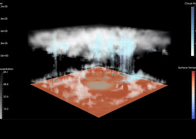
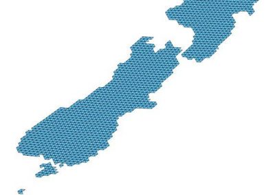
Both methods were used to adjust the model water vapour mixing ratio profile according to radar and satellite observed/retrieved rain rates and the results were analysed and compared. Furthermore, precipitation cloud, which is derived from the infrared difference from two channels of satellite, is also assimilated into model with a method similar to the WVC method. The results show that, the assimilation of radar reflectivity data could significantly improve the precipitation forecasts up to around 9 hours. The addition of satellite retrieved precipitation in the assimilation system could enhance the forecast ability further, especially after the lead time of around 3-4 hours. The RK-nudging method outperforms the WVC method on average. The assimilation of precipitation cloud might improve the precipitation formation and development in some cases, but the improvement resulting from the precipitation cloud assimilation was not as significant as the rain rate assimilation on average, especially for the first several hours. Figure 1 shows a precipitation forecast run using WRF software at the spatial resolution of 3km over New Zealand.
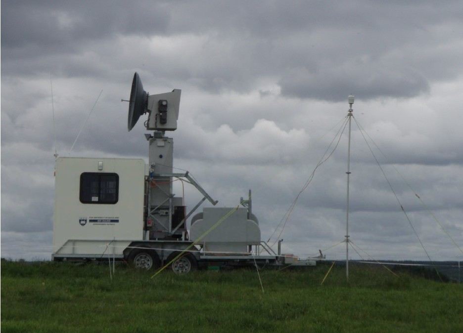
UoA Radar station
Forecasting weather
Our group started using the NeSI’s Pan cluster in 2012. Before that, our research was limited to a local computing cluster run by the physics department which has only 15 nodes and very limited disk space. It was quite difficult to provide accurate weather forecasts since the available computational resources did not allow us to run our model at relative high resolution. Generally, our model runs at a nested domain configuration with the resolutions of 30km (outer domain) and 10km (inner domain), and apparently, such resolution has no capability of capturing most small scale features like tornado. Moreover, it was painful to investigate the effects of either radar or satellite high resolution data assimilation since that even for a single case, the local cluster usually took more than one week to finish. At present, we are able to improve our highest model resolution to 3km, although it is still not perfect, but it already makes our modelling system matching to most operational weather forecast centres around the world. Our data assimilation studies usually can be done within 24 hours for a single case. Furthermore, we can run a number of cases at the same time which really saves us a lot of time compared to run them one by one as we used to do with our old cluster.
Overall, weather forecasting is usually one of the major applications of parallel computer. In New Zealand, we are so glad that we can have the powerful computational resources supported by NeSI. By employing the high performance computing facilities, we can develop and investigate the advanced techniques used in weather forecasts and thus it gives us the opportunity to make more accurate forecast for New Zealand at the next step.
We are planning to start four dimensional variational (4DVar) data assimilation experiment at the next step; similar studies began recently in Japan, UK and American meteorological agencies. The 4DVar technique usually requires massive computational resources so not so many countries can afford that so far. However, we believe that the NeSI’s facilities are still capable of supporting us to do some preliminary studies and the results are expected to provide large benefits to the New Zealand’s weather forecasts and the associated risks management in the future.
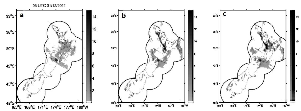
Figure 1: The precipitation forecasts run by WRF at the spatial resolution of 3 km over New Zealand. From left to right: (a) radar observations, (b)Control experiment (no data assimilation) and (c) radar data assimilation experiment
See more case study projects

Our Voices: using innovative techniques to collect, analyse and amplify the lived experiences of young people in Aotearoa
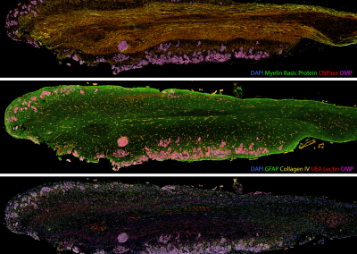
Painting the brain: multiplexed tissue labelling of human brain tissue to facilitate discoveries in neuroanatomy

Detecting anomalous matches in professional sports: a novel approach using advanced anomaly detection techniques

Benefits of linking routine medical records to the GUiNZ longitudinal birth cohort: Childhood injury predictors
Using a virtual machine-based machine learning algorithm to obtain comprehensive behavioural information in an in vivo Alzheimer’s disease model
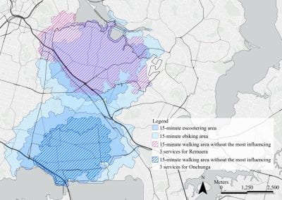
Mapping livability: the “15-minute city” concept for car-dependent districts in Auckland, New Zealand
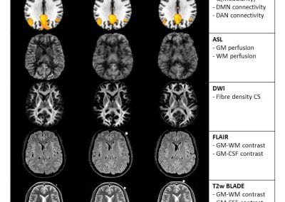
Travelling Heads – Measuring Reproducibility and Repeatability of Magnetic Resonance Imaging in Dementia
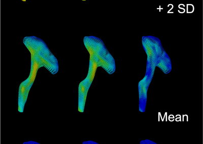
Novel Subject-Specific Method of Visualising Group Differences from Multiple DTI Metrics without Averaging

Re-assess urban spaces under COVID-19 impact: sensing Auckland social ‘hotspots’ with mobile location data
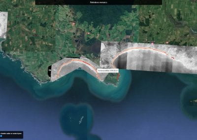
Aotearoa New Zealand’s changing coastline – Resilience to Nature’s Challenges (National Science Challenge)
Proteins under a computational microscope: designing in-silico strategies to understand and develop molecular functionalities in Life Sciences and Engineering
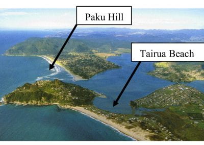
Coastal image classification and nalysis based on convolutional neural betworks and pattern recognition
Determinants of translation efficiency in the evolutionarily-divergent protist Trichomonas vaginalis
Measuring impact of entrepreneurship activities on students’ mindset, capabilities and entrepreneurial intentions

Using Zebra Finch data and deep learning classification to identify individual bird calls from audio recordings
Automated measurement of intracranial cerebrospinal fluid volume and outcome after endovascular thrombectomy for ischemic stroke
Using simple models to explore complex dynamics: A case study of macomona liliana (wedge-shell) and nutrient variations
Fully coupled thermo-hydro-mechanical modelling of permeability enhancement by the finite element method
Modelling dual reflux pressure swing adsorption (DR-PSA) units for gas separation in natural gas processing
Molecular phylogenetics uses genetic data to reconstruct the evolutionary history of individuals, populations or species

Wandering around the molecular landscape: embracing virtual reality as a research showcasing outreach and teaching tool


