Southern Right Whale Tohora project
Assoc Prof Emma Carroll and Prof Rochelle Constantine, School of Biological Sciences

Image created to Carlos Olavarria, Southern Great Whales, Auckland Islands Team 2009
Background
Southern Right Whales – Tohorā (SRW, Eubalaena australis) were hunted to near extinction in the early 19th century, with only 30-40 mature females remaining when whaling ceased. These whales were once widely distributed throughout mainland Aotearoa / New Zealand (NZ) waters dispersed off the subtropical Louisville Ridge northeast of mainland NZ and south to the subantarctic islands.
Despite their extremely low abundance, the SRWs have maintained a strong connection to Maungahuka / Auckland Islands overwintering in the sheltered Port Ross during the June – October breeding season. A 2009 abundance estimate based on genetic markers unique to each whale found there were ~2,000 whales which was less than 10% of their pre-whaling numbers; they are recovering, but it is very slow. Maungahuka is a core habitat for SRWs with mother-calf pairs favouring Port Ross waters. The whales are also seen in lower numbers at Ihupuku / Campbell Island, with juveniles and males dominating the demographic classes. Whilst SRWs are reported around mainland NZ, in particular around the Southland region, their recolonisation of mainland waters is slower than expected and the subantarctic islands currently is critical habitat.
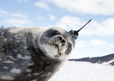
Building upon previous SRW work, Associate Professor Emma Carroll leads a University of Auckland / Waipapa Taumata Rau based collaborative research project (https://tohoravoyages.ac.nz) on SRWs to estimate their abundance using innovative kin mark-recapture models, determine the whales’ age using epigenetic markers, ascertain their migratory pathways, identify their feeding grounds using satellite telemetry and stable isotope markers, and understand the health of this population by integrating the knowledge gained through this multi-disciplinary research. Overlaying this are questions about how SRWs are responding to climate change and emerging threats such as ship-strike as the population slowly increases. As part of this objective, we undertook research using satellite telemetry data to determine whether marine protected areas (MPAs) were effective at protecting SRWs from vessel interactions in southern NZ and subantarctic waters.
Collaboration with Centre for eResearch
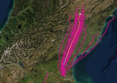
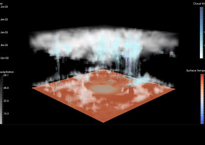
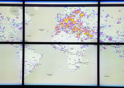
The Centre for eResearch was critical in taking our complex datasets of whale movement patterns and vessel tracks from several classes of vessel and bringing them to life for outreach purposes. It was important to turn the static maps into dynamic, moving imagery showing the whole study area and then broken down by different key locations. It was a large task to adapt three years of information into animations with relatively short viewing timeframes to ensure people would stay engaged with the content. The end result was very successful and has been useful for mana whenua, government agencies, non-government organisations, media and other researchers in NZ and overseas.
The Centre for eResearch is such an asset for us because science communication beyond the publication is important for us. Animations to show what’s happening enables us to have more informed discussions, especially with decision makers and industry.
Focus project: Do marine protected areas protect southern right whales?
In research led by MSc student Xuelei Zhang, we analysed satellite tag data collected between 2020 and 2022 from 29 SRWs to determine their movement patterns in NZ waters, then overlaid this with large vessel movement data collected via the Automatic Identification System. There are different types of protected areas within the SRW NZ range – Marine Mammal Protected Areas, Marine Reserves and Important Marine Mammal Areas (IMMA) and these are considered by government agencies to ensure protection for the whales.
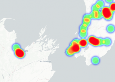
Our research identified two new areas of importance for the whales that were located outside of the protected areas. We also found high levels of spatial and temporal overlap between whales and vessels within the MPAs enhancing the risk to the whales from vessel strike, interaction with fishing gear and vessel noise, especially during the peak breeding period from June to October. Only ~10% of habitat used by SRWs was in MPAs, with the IMMAs capturing 57% of this habitat highlighting a lack of protection. The type of vessel traffic varied by region, with more fishing vessels in the subantarctic waters and more cargo and tanker vessels around Southland and Rakiura / Stewart Island (Figure 1). We have identified areas to be prioritised for future monitoring and protection for SRWs as the population grows with a rapidly changing climate and provided important information for the Coastal Management Plan currently under revision. Additionally we have tested the efficacy of MPAs, something that has not been investigated since their implementation.
Reference
Zhang X, Carroll EL, Constantine R, Andrews-Goff V, Childerhouse S, Cole R, Goetz KT, Meyer C, Ogle M, Harcourt R, Stuck E, Zerbini AN, Riekkola L. (2024) Effectiveness of marine protected areas in safeguarding important migratory megafauna habitat. Journal of Environmental Management 368: 122116. https://doi.org/10.1016/j.envman.2024.122116
See more case study projects

Our Voices: using innovative techniques to collect, analyse and amplify the lived experiences of young people in Aotearoa
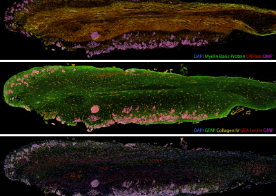
Painting the brain: multiplexed tissue labelling of human brain tissue to facilitate discoveries in neuroanatomy

Detecting anomalous matches in professional sports: a novel approach using advanced anomaly detection techniques

Benefits of linking routine medical records to the GUiNZ longitudinal birth cohort: Childhood injury predictors
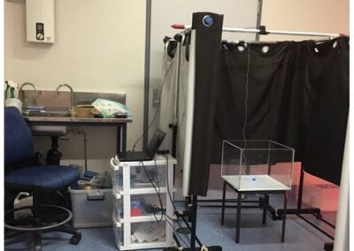
Using a virtual machine-based machine learning algorithm to obtain comprehensive behavioural information in an in vivo Alzheimer’s disease model
Mapping livability: the “15-minute city” concept for car-dependent districts in Auckland, New Zealand
Travelling Heads – Measuring Reproducibility and Repeatability of Magnetic Resonance Imaging in Dementia
Novel Subject-Specific Method of Visualising Group Differences from Multiple DTI Metrics without Averaging

Re-assess urban spaces under COVID-19 impact: sensing Auckland social ‘hotspots’ with mobile location data
Aotearoa New Zealand’s changing coastline – Resilience to Nature’s Challenges (National Science Challenge)
Proteins under a computational microscope: designing in-silico strategies to understand and develop molecular functionalities in Life Sciences and Engineering
Coastal image classification and nalysis based on convolutional neural betworks and pattern recognition
Determinants of translation efficiency in the evolutionarily-divergent protist Trichomonas vaginalis

Development of an online Community Engagement Platform (CEP) to facilitate out-facing collaborative research
Measuring impact of entrepreneurship activities on students’ mindset, capabilities and entrepreneurial intentions

Using Zebra Finch data and deep learning classification to identify individual bird calls from audio recordings

Automated measurement of intracranial cerebrospinal fluid volume and outcome after endovascular thrombectomy for ischemic stroke
Using simple models to explore complex dynamics: A case study of macomona liliana (wedge-shell) and nutrient variations
Fully coupled thermo-hydro-mechanical modelling of permeability enhancement by the finite element method
Modelling dual reflux pressure swing adsorption (DR-PSA) units for gas separation in natural gas processing
Molecular phylogenetics uses genetic data to reconstruct the evolutionary history of individuals, populations or species

Wandering around the molecular landscape: embracing virtual reality as a research showcasing outreach and teaching tool


