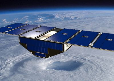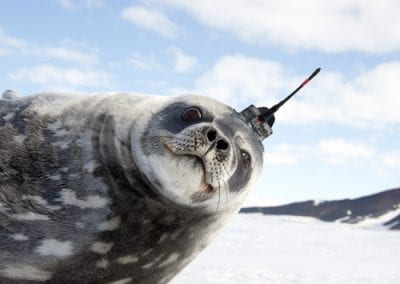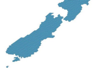
Supporting the airborne remote sensing mission – Rongowai
Adjunct Prof. Delwyn Moller – Department of Electrical, Computer, and Software Engineering
Dr. Mike Laverick, Dr. Chris Seal, Yvette Wharton – Centre for eResearch
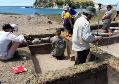
Rongowai: the first payload of the Science Payload Operation Centre (SPOC)
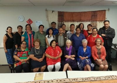
On the 11th August the first payload of the Science Payload Operation Centre (SPOC) was officially named Rongowai – composed of the Te reo Māori words Rongo (to sense) and Wai (water) – and showcased for over 60 VIPs involved in New Zealand’s space, aviation, environmental, and defence sectors. The event consisted of several short talks given by Prof Delwyn Moller (UoA and PI), Michael Steedman (UoA Kaiarataki), Prof Chris Ruf (NASA and University of Michigan), Dr Peter Crabtree (MBIE and New Zealand Space Agency), Wayne Thomas (Air New Zealand), Mike Taitoko (Takiwa and Toha), and Prof Mahta Moghaddam (NASA and Univ. Southern California), as well as demonstrations of both the science and payload support capabilities in place for the launch of Rongowai in early 2022.
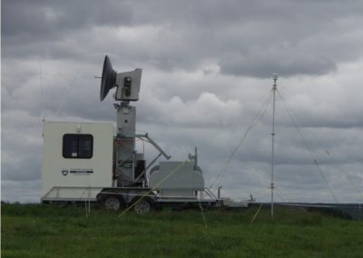
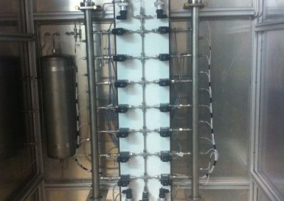
Preparations for the Rongowai launch are well underway with the payload currently going through exhaustive bench-testing in the United States prior to shipping to New Zealand and installation on the Air New Zealand Q300 craft.
Further information on Rongowai can be found in the previous case study for the SPOC. (https://www.eresearch.auckland.ac.nz/project/developing-virtual-capabilities-for-the-science-payload-operations-centre/)

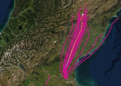
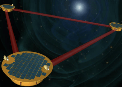
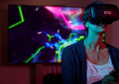
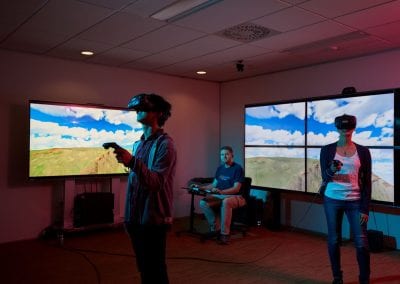
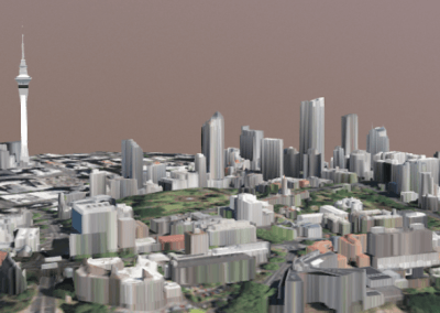
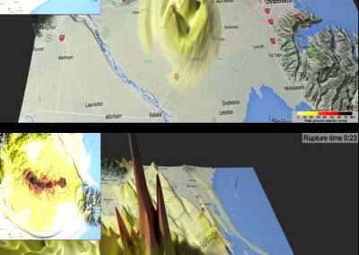
Live flight tracking and real-time simulations of a Rongowai flight and data
The Rongowai payload is designed to operate for years on end without any physical intervention as it will only be physically accessible when the commercial aircraft undergoes a fully stripped-back maintenance session. Communication with the installed payload will only ever be driven by the payload itself, while the flight is on the ground, in a scenario where the payload “dials home” to the data centre using it’s cellular modem internet connection. During this “dial home” session science and engineering data can be transferred off the payload in addition to uploading new data collection plans and software updates. Apart from these “dial home” sessions while a flight is turning around we will not be able to communicate with Rongowai.
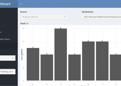
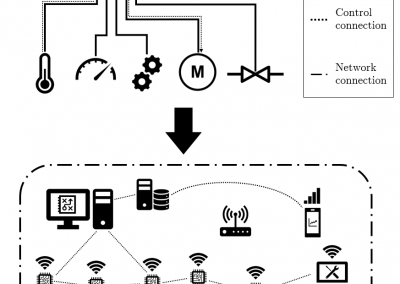
Developing an engineering and telemetry dashboard for Rongowai
Given that Rongowai will have little to no physical access during its operational lifetime it is important that we are able to monitor the health of the payload remotely and often. As such, Rongowai produces engineering data on all key aspects of its hardware and software so that potential issues can be monitored and reported back when the payload communicates with our data centre. The engineering data reports on a range of parameters including: voltages and currents of key components and whether any thresholds have been exceeded for any temperature, voltage, or current sensors.
When Rongowai connects to our data centre binary-format engineering data is transferred across to us, where it is unpacked into a more usable file format and ingested into a dedicated Elasticsearch database for storage. We have developed an interactive Kibana dashboard to help visualise this engineering data and monitor the health of the payload over a given period of time, typically the past week of data. Further dashboard pages offer more detailed plots of various parameters to help with an initial diagnosis of any issues. The dashboard updates in real-time as data is ingested into Elasticsearch, and automated email/SMS warnings will alert us to any critical issues should they arise.
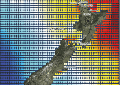
Data visualisation collaboration the data analytics platform Takiwa
The SPOC is partnering with the data visualisation and analytics platform Takiwa to provide interactive data browsing tools for various payload missions coming online soon, including the science data from Rongowai.
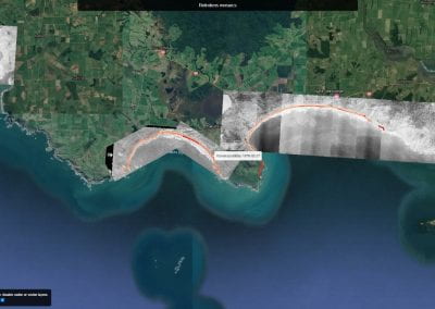
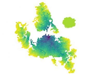
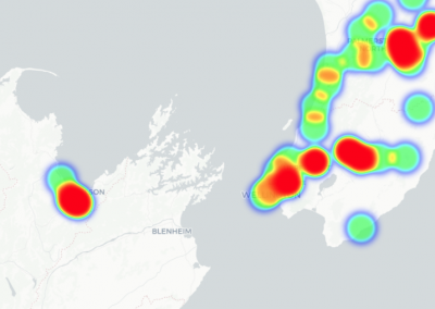
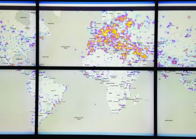
The Rongowai showcase event on the 11th August demonstrated the potential of the SPOC-Takiwa collaboration by providing interactive visualisations of a number of datasets relevant to climate monitoring in New Zealand – including missions such as Rongowai, CYGNSS, Landsat-8, SMAP, and Sentinel-2.
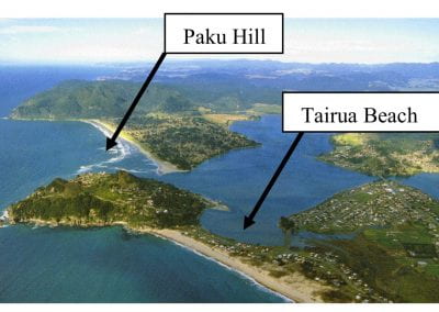
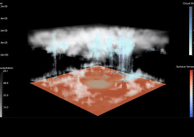
The event provided a crucial first investigation into how the wealth of available remote sensing data can be retrieved, processed, and visualised, with over 200GB of satellite data being crunched for the showcase event below. We look forward to coming up with solutions together to solve the issue of exploring large and complementary datasets with relative ease.