

New Zealand coastline mapping, monitoring and updating – Resilience to Nature’s Challenges (RNC)
New Zealand coastline mapping, monitoring and updating – Resilience to Nature’s Challenges (RNC) Dr Emma Ryan, Senior Lecturer, Prof Mark Dickson, School of Environment Home • Archive for "case study" Coastal change since 1940s,...
Automating data collection and generation for the Rongowai mission
Automating data collection and generation for the Rongowai mission Dr Mike laverick, Senior Solutions Specialist, Centre for eResearch CeR helps support a wide range of digital research services at the University of Auckland including software upskilling, research...
Māori Pronunciation Aid Tool
Māori Pronunciation Aid Tool The Curious Minds development team:Prof Catherine Watson, Isabella Shields, Department of Electrical, Computer and Software EngineeringAssoc Prof Peter Keegan, Te Puna Wananga Dr Justin Hui, Mechanical and Mechatronics Engineering Brooke...
Our changing coast – sea level rise on Aotearoa’s dynamic margin
Our changing coast – sea level rise on Aotearoa’s dynamic margin Professor Giovanni Coco, School of Environment, Nick Young, Centre for eResearch Background The Te Ao Hou, Our Changing Coast (OCC) programme provides innovative insights into our evolving coastal...
Southern Right Whale Tohora project
Southern Right Whale Tohora project Assoc Prof Emma Carroll and Prof Rochelle Constantine, School of Biological Sciences Home • Archive for "2024" Image created to Carlos Olavarria, Southern Great Whales, Auckland Islands Team 2009 Background...
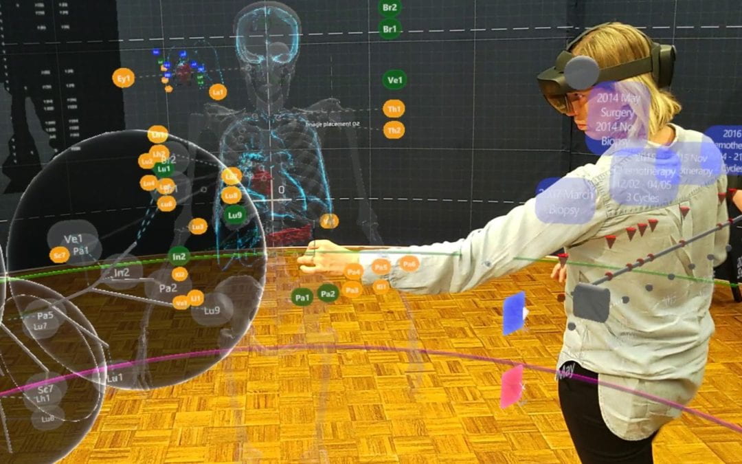
Extended reality is turning cancer research into a team sport
The Mixed-Reality tool for the Tumour Evolution Project is a unique, real-world application of design in cancer research.

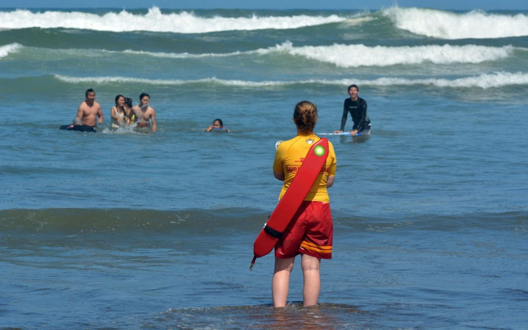
Analysis of incidents on New Zealand beaches
The main hazard on beach incidents to humans occurring on open coast beaches is identified with the presence of rip currents, while other hazards related to beach activities tend to play a minor role.

Benefits of linking routine medical records to the GUiNZ longitudinal birth cohort: Childhood injury predictors
Combining self-reported longitudinal cohort data with routine healthcare data can help mitigate the limitations of each data type. Linking these datasets addresses missing data issues, reduces recall and information biases, and validates both data sources.

Mapping livability: the “15-minute city” concept for car-dependent districts in Auckland, New Zealand
The research critically examines the potential of micro-mobility options, such as e-scooters and e-bikes, to significantly expand zones deemed ‘livable’ for the study sites.